11th Street Bridge Park
The 11th Street Bridge Park in Washington, D.C., confronted us with a set of entrenched divisions that dominate many cities—disparities of income and investment that all too often align with race and are reinforced by geography. D.C. was planned around the confluence of two rivers, the Potomac and the Anacostia. While the more recognized Potomac defines its organic southwestern edge with Virginia, the Anacostia cuts through the city, dividing its southeastern quadrant from the rest.
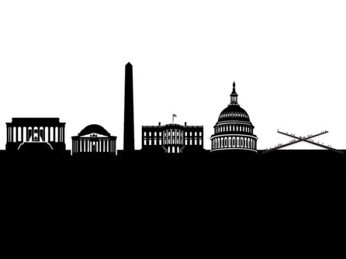
The west side of the Anacostia River is defined by Pierre Charles L’Enfant’s classical plan, crisscrossed with diagonal avenues whose intersections—called Reservations—mark the locations of civic buildings and public spaces. The east side is less formally organized, with a terrain of hills that fragment its street grid and a riverfront that is bucolic in comparison to the industrialized western bank. The west is dominated by D.C.’s practical and symbolic role as the nation’s capital, while the largely African-American east side is home to more native D.C. residents than any other neighborhood. Today, the west is high income while the east has the lowest income levels in the district.
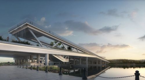
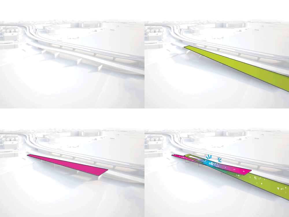
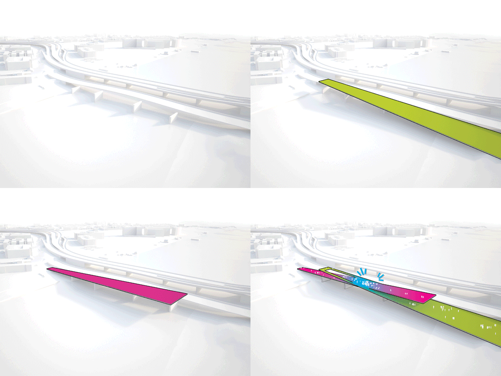
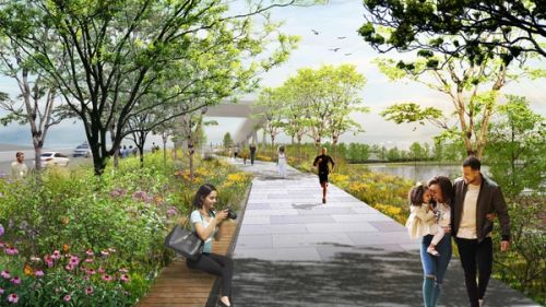
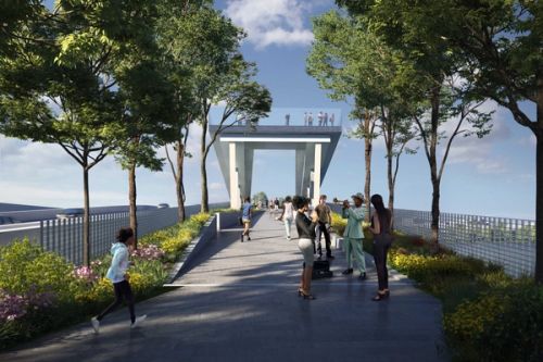
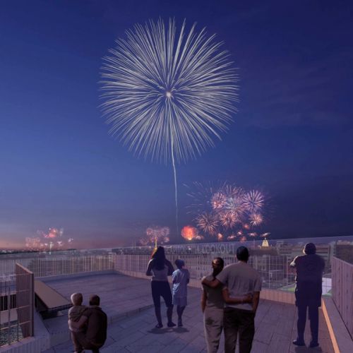
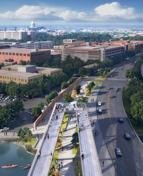
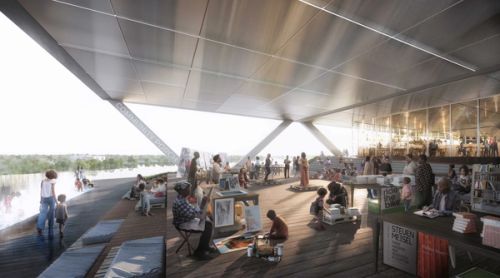
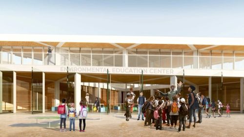
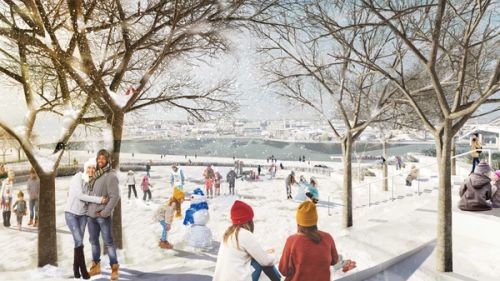
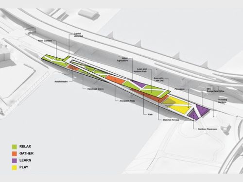
Over the last fifteen years, the post-industrial Capitol Riverfront along the west bank has become a thriving mixed-use area, while the east side has long been excluded from the city’s economic progress. The idea behind the 11th Street Bridge Park was to utilize abandoned infrastructure—a set of piers from a now-defunct vehicular bridge—to create a pedestrian link between east and west. As its name implies, the park would be at once a thoroughfare across the river and a gathering place over it. This improbable proposal led to a design competition we entered together with landscape architects OLIN in the spring of 2014.




















2021
2020
2019
2017
2016
2015
2014
